

Between the Lakes Treaty [1784 & 1792]
Between the Lakes Treaty [1784 & 1792]
Land Surveys & Geographic Impossibilities

Greetings,
As part of my writing about Hamilton, I’ve been returning to the origins of the city to try and learn what the foundation of this place, both literally and metaphorically, is comprised of. Partly, I’ve been doing this work in the hope of understanding the city better, but I’ve also been trying to get out from under the dominant conception of Hamilton, to remember that this city is relatively young, and though it can feel so solid at times, it is (not to get too stoner-y) really just an idea, a way of thinking about a particular region of this land.
By turning to archival documents and past writing about the city, I’ve been trying to see beyond the conception of Hamilton as a timeless and stable entity, and instead view it as a capital “C” City, a corporation created 176 years ago by an act of the federal government. [A nice, light and entertaining start to this newsletter — hook ‘em early.]
So far, this work has involved examining Hamilton’s self-mythology — what are the stories we tell about ourselves and this place, and what does that say about us/it? [Dreadful English, that makes us call a place it.]
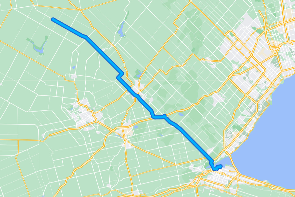
The most recent iteration of this work has me reading about the Between the Lakes Treaty No. 3 [1784 & 1792] (not to be confused with Treaty 3 in Northern Ontario) that includes the place-now-known-as-Hamilton.
You can read some helpful background as well as the full text of the treaty (it’s not very long and important to know) at the Hamilton Civic Museum site, but essentially what it suggests is that the Mississaugas ceded a tract of land from Fort Erie, to St. Catharines, to Hamilton, northwest to Deshkan Ziibi / La Tranche / The Thames, down the river to Port Bruce and then back east to Fort Erie in exchange for £1,180 worth of trade goods (or $194,415 CAD in 2021 according to the Bank of England’s inflation calculator).

Importantly, the treaty specified that the northern boundary of the tract should start “from a small lake…by the name of Washquarter [Burlington Bay / Hamilton Harbour]; from thence a north westerly course until it strikes the River La Tranche or New River.”
The problem is, that heading northwest from the bay, you will never reach Deshkan Ziibi / La Tranche / The Thames. Thus, the lands described in the document did not form a closed shape, which makes land development / surveying rather difficult, both things the British tended to be interested in.

The British only realized their mistake though after the surveyor Augustus Jones and his crew walked for weeks and crossed multiple rivers [the Grand and the Speed] before reaching the Conestoga and discovering something was wrong.
Once Jones & co. returned from their surveying expedition, the Crown and the Mississaugas updated the treaty and the current version from 1792 enshrines the Crown’s original mistake:
And whereas at the time of executing the said Indenture the boundaries of the said parcel of land were on one side described by an imaginary line running from the small Lake Washquarter in a north-west course until it strikes the river, but from an actual survey it has been discovered that a line from the said Lake Washquarter carried on a north-westerly course will not strike that sake River La Tranche.
And whereas it is necessary and expedient that the boundary lines of the said parcel of land should be ore accurately laid down and described.
The original mistaken treaty was relatively short-lived — about 8 years. But the revised version from 1792 still stands today and covers St. Catharines, Hamilton, Brantford, Cambridge, Waterloo and Guelph, among other places — a vast and valuable area.
I’m working with this story as an example of a failed colonial understanding of land. The city that I call home would not exist without this agreement that the Crown made with little to no actual understanding of the lands in question.
For me, the story is a call to better understand the place that I call home. Part of that is knowing the geography, part of that is knowing the history, particularly the treaty history — something that up until a couple weeks ago, I had very little idea about.
Though I’m not certain exactly what my role is at this point, my sense is that part of it is beginning to move from an understanding of the land that is rooted in the imaginary, toward one more rooted in the actual.
A few adjacent sources:
1. Matthew James Weigel on the limits of the written treaties:
in 1959 the South Saskatchewan river was dammed;
forever altering the boundary of Treaty no. 6;
such that it technically no longer exists
...
it must also be noted that the treaty negotiations
did not include any discussion of water;
or mountains;
precisely those features chosen by the crown
to mark the boundaries of treaty;
making the boundaries a sort of negative space;


