

Having completed my first circuit of the treaty area, as I’ve been working on my poem (some of which you can listen to here), I’ve started going back to sections that I didn’t cover as well as I would’ve liked.
At the end of April, I set out to explore a section of the Jones Baseline that I missed the first time around. I originally drove this section about ten minutes into my trip and I hadn’t quite figured out how to navigate on the side roads yet, Google Maps forcing me to the fastest route. The warmer weather and shorter distance meant that biking was now an option as well.
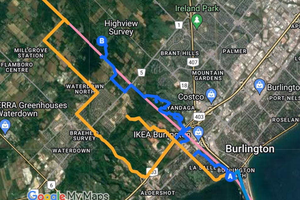
Going back over the map, I saw another more winding residential route that would keep me closer to the line. The bike allowed me to move a little slower and pull off to the side more easily — a little more lost cyclist, less leering driver.
Right outside the Indian Point neighbourhood, which has been my starting place throughout,1 there are more streets named for First Nations: Oneida Drive, Huron Drive — one of the few methods of acknowledging Indigenous presence that I’ve noticed in my travels.

There’s a line in Muriel Rukeyser’s The Book of the Dead (an amazing work of documentary poetics that investigates a mining disaster in 1930s W. Virginia) about these surface-level engagements with heritage:
Pillars and fairway; spa; White Sulphur Springs.
Airport. Gay blank rich faces wishing to add
history to ballrooms, tradition to the first tee.
Like the road named for the creek it buries, these practices, that appropriate the names of Indigenous nations to lend a bit of gravitas to a young subdivision, are only concerned with the name, not with the thing (or, in this case, nation) itself.
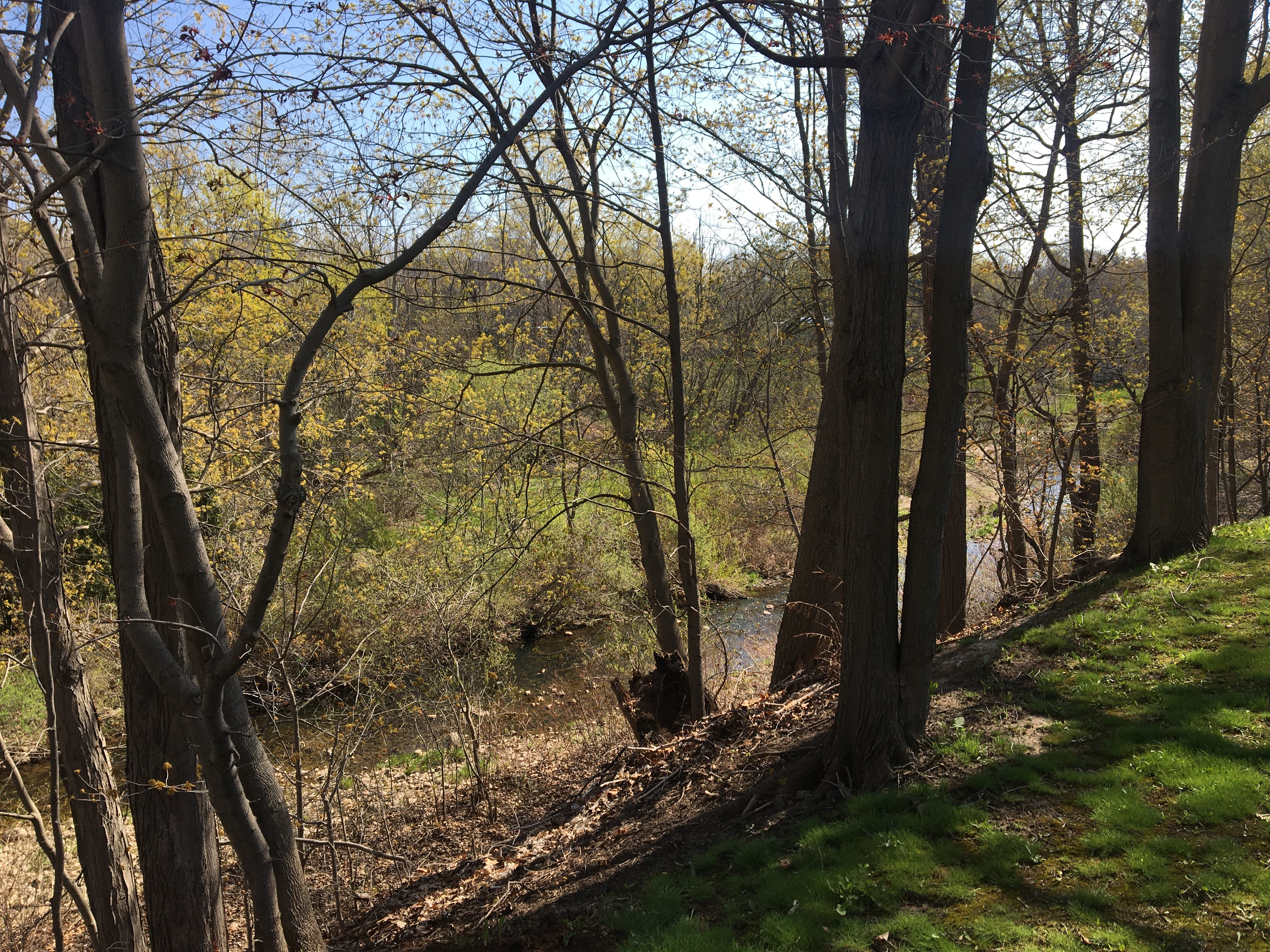
Oneida Drive eventually enters the Greenwood Cemetery. From atop the bank, I saw two mallards riding down a swift in Hager Creek.
The other section I was interested in on the south side of the 403 was out front of the Hydro One Transmission Station, a complex I’d seen from the highway many times, but had never been close to. As I rode up, crows were sitting in the grass of the hydro cut out front. The gate and barbed wire kept me from being able to follow the road inside that mirrors Jones’s line but it was interesting to get a closer look.
Throughout this ride, I was struck by how closely the hydro cut follows Jones’s line as it climbs the escarpment, how much straighter my route would have been if I could have followed that path. So much land seems to be set aside for vague infrastructural use and it’s hard for a civilian like me to determine who owns what, aside from reading the various No Trespassing signs.
From there, I climbed the escarpment up Cityview, Forestvale, and Westhaven Drives through a subdivision to Kerns Road which intersects at the top with the Bruce Trail. Then up Evans Road to North Waterdown and the Hidden Lake Golf Club.
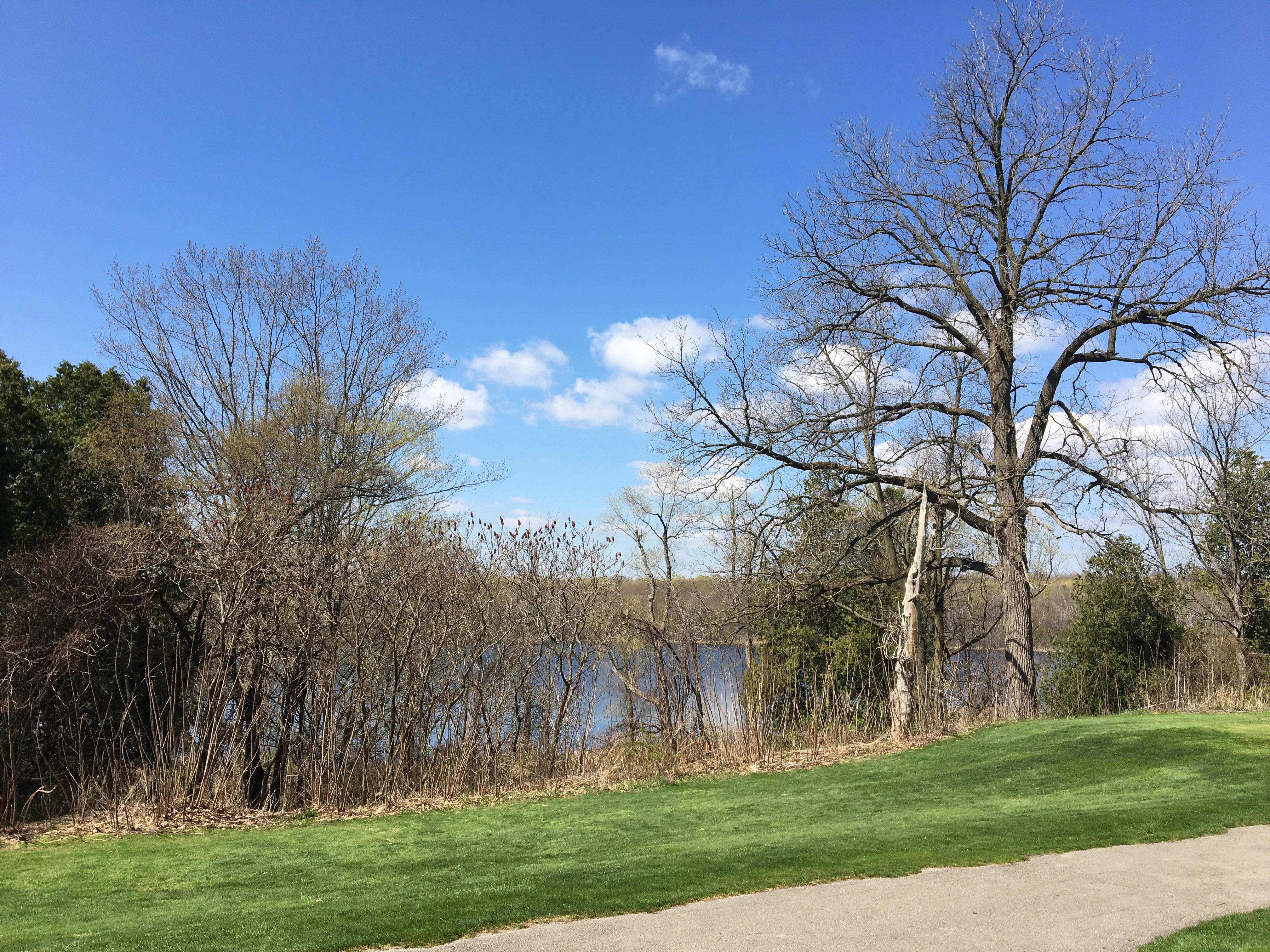
The club is particularly interesting because the lake of Hidden Lake is Lake Medad, which is thought by some to be the site of a former Seneca village Tinawatawa mentioned in the Jesuit Relations. The debate over the site of the village is a bit beyond me, but it was on my route and the mystery of the current name appealed to me. Along with the previously mentioned Lost Forest Campground, there’s a sense of a different understanding of place, something beyond the visible.
A sign at the course said tee-offs had been delayed because of wet grass, so there were more people than I anticipated standing around on the driving range as I rode through the gate in decidedly non-golf attire. I didn’t imagine I’d have much time before being asked to leave so I kept moving and rode straight through the parking lot, between a dumpster and a hydro pole, and onto the cart path. From there, I had a decent view of a nice, but ordinary lake. I took the unremarkable picture below and rode off without incident.
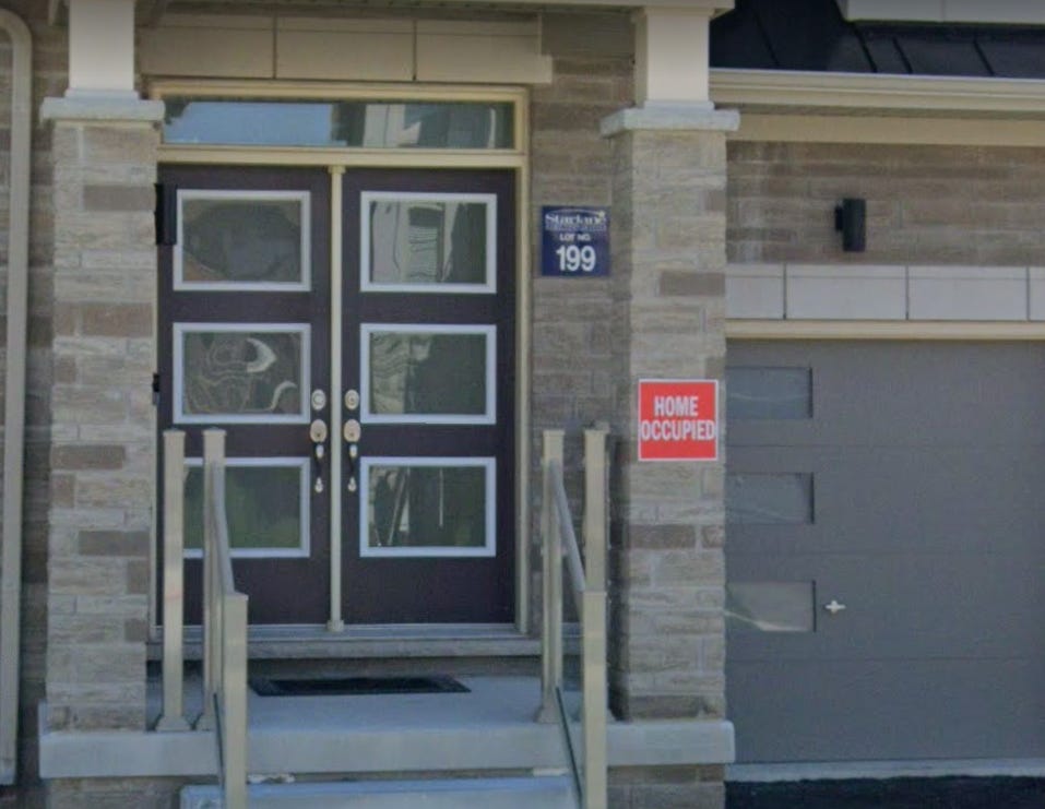
On my way back down the escarpment I rode through a housing development that blocked my way last fall. Construction was more or less finished now, at least enough to remove the barriers.
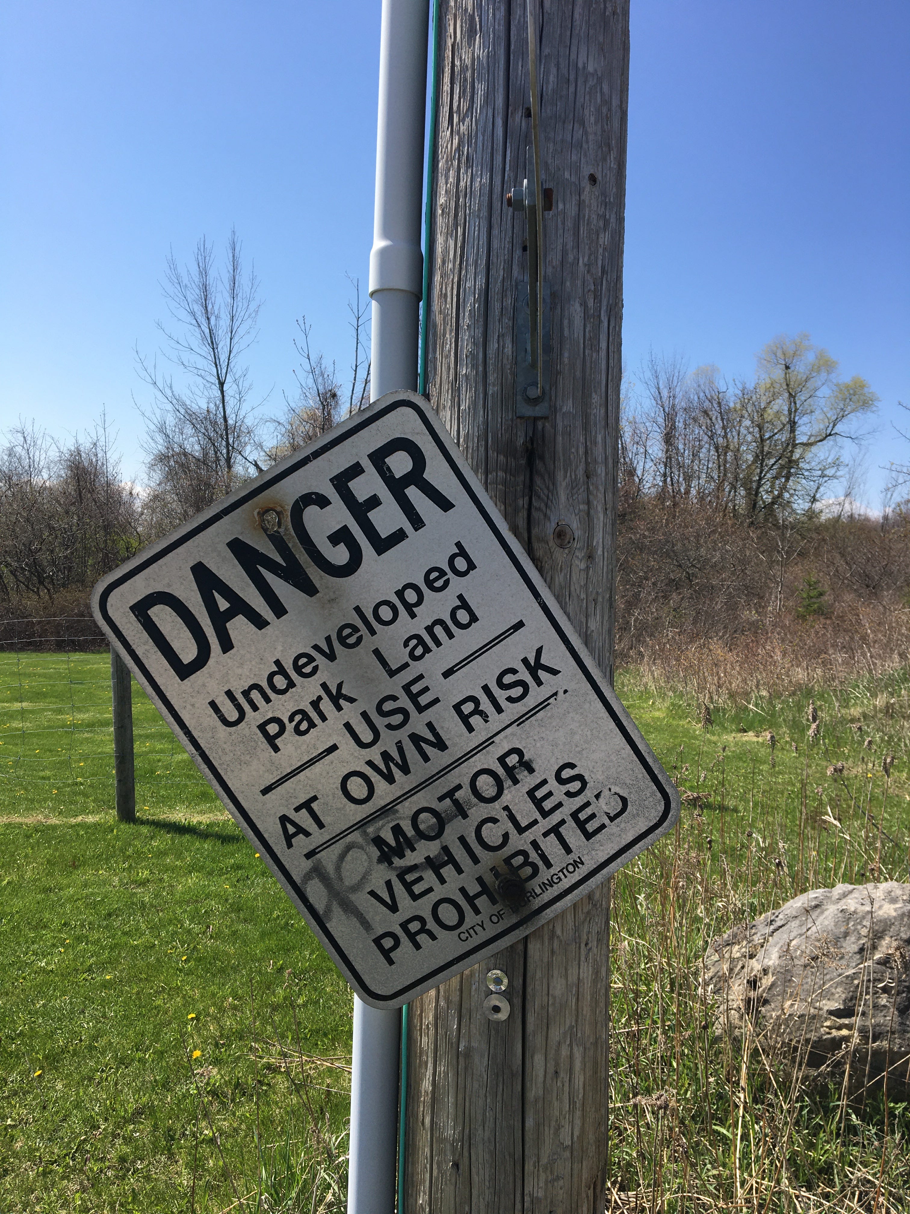
The roads are all named for what was there before: Granite Ridge, Cattail Crescent, the aforementioned Hager Creek. Riding around, traffic was a weird mix of sedans and forklifts, like the developer had run out of time and was letting people move in as each individual house was finished. To ease the confusion about which buildings were in what stage of construction, the completed ones had been affixed with the not-altogether welcoming sign below.
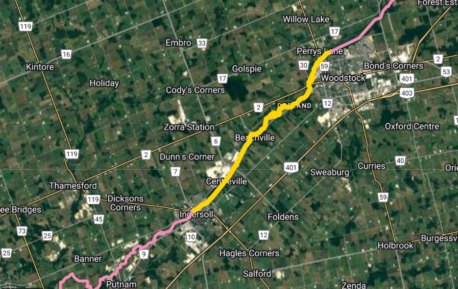
My other recent outing was a paddling trip on the South Branch of Deshkan Ziibi/the Thames over the May Two-Four.
We put our canoe in at the base of the Pittock Dam in Woodstock and did about 19 kilometres through Dorland, Beachville and Centreville over four hours before taking out in Ingersoll — roughly 1/3 of the section of the river that makes up the treaty boundary.
Being that it was a holiday Monday, the fishermen were out in force, lining both sides of the river when we got on beneath the dam. Once we passed under a few bridges we had the water mostly to ourselves, except for the odd hikers on the trail beside us.
The first section we did was much slower, with lots of switchbacks, and a handful of spots where we had to drag the boat over deadfall trees.
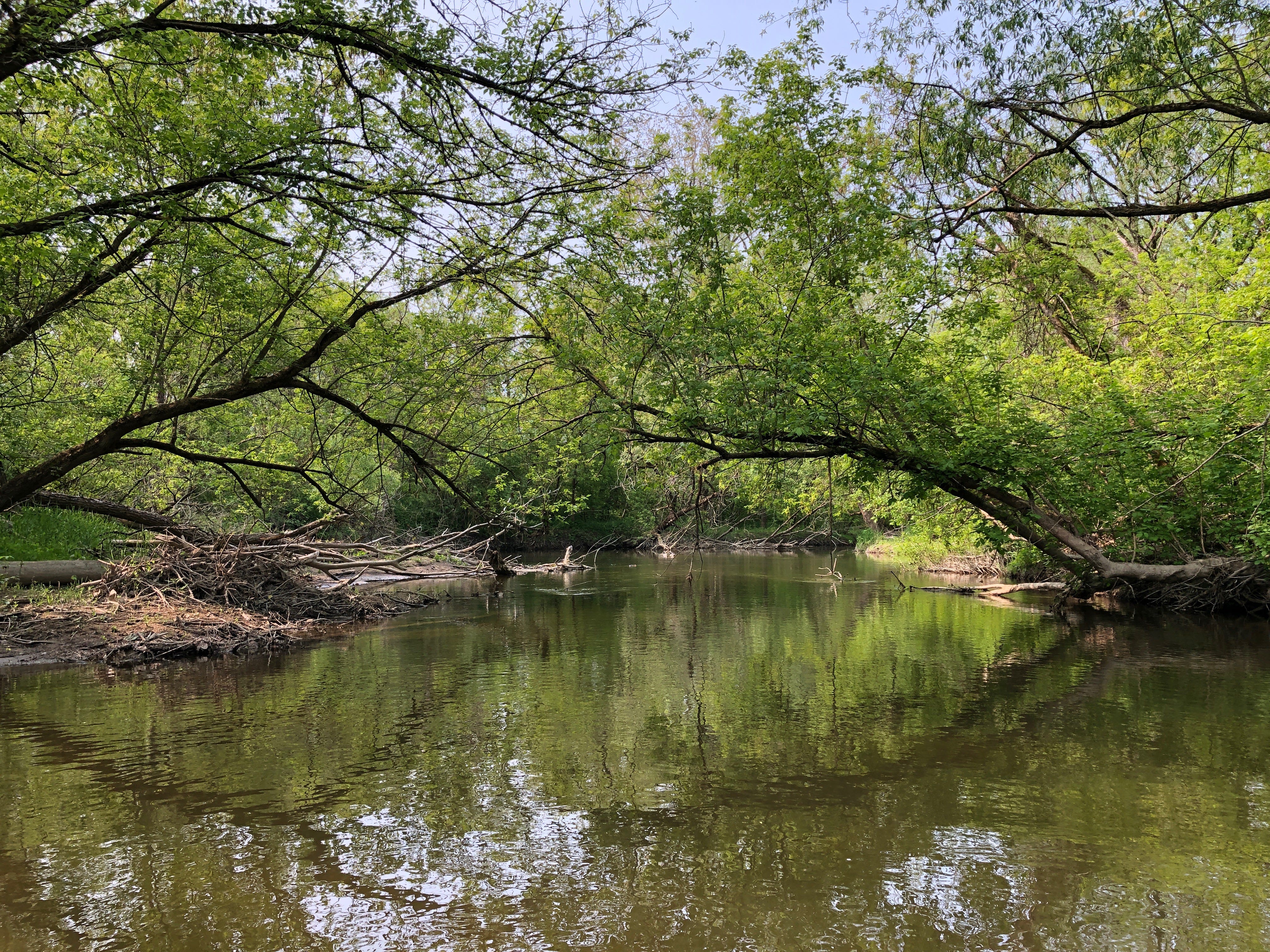
Though we were the only humans on the water, the banks were alive with all kinds of creatures: huge willows and maples, honeysuckle and buckthorn, an oriole, two herons that we chased for about an hour, too many Canada geese for comfort, a beaver/muskrat, a weasel, turtles.
About halfway through our paddle a German shepherd appeared about ten feet above us on the left bank. After attempting to make its way down to the river, it turned around and climbed back up. We thought it had given up on us, but apparently was just looking for a better path down to the water. Having found one, it jumped from the bank and started swimming toward us. Thankfully, between its owner’s calls and my splashing it with the paddle, the dog turned back. Not exactly the kind of wildlife encounter we were seeking or anticipating.
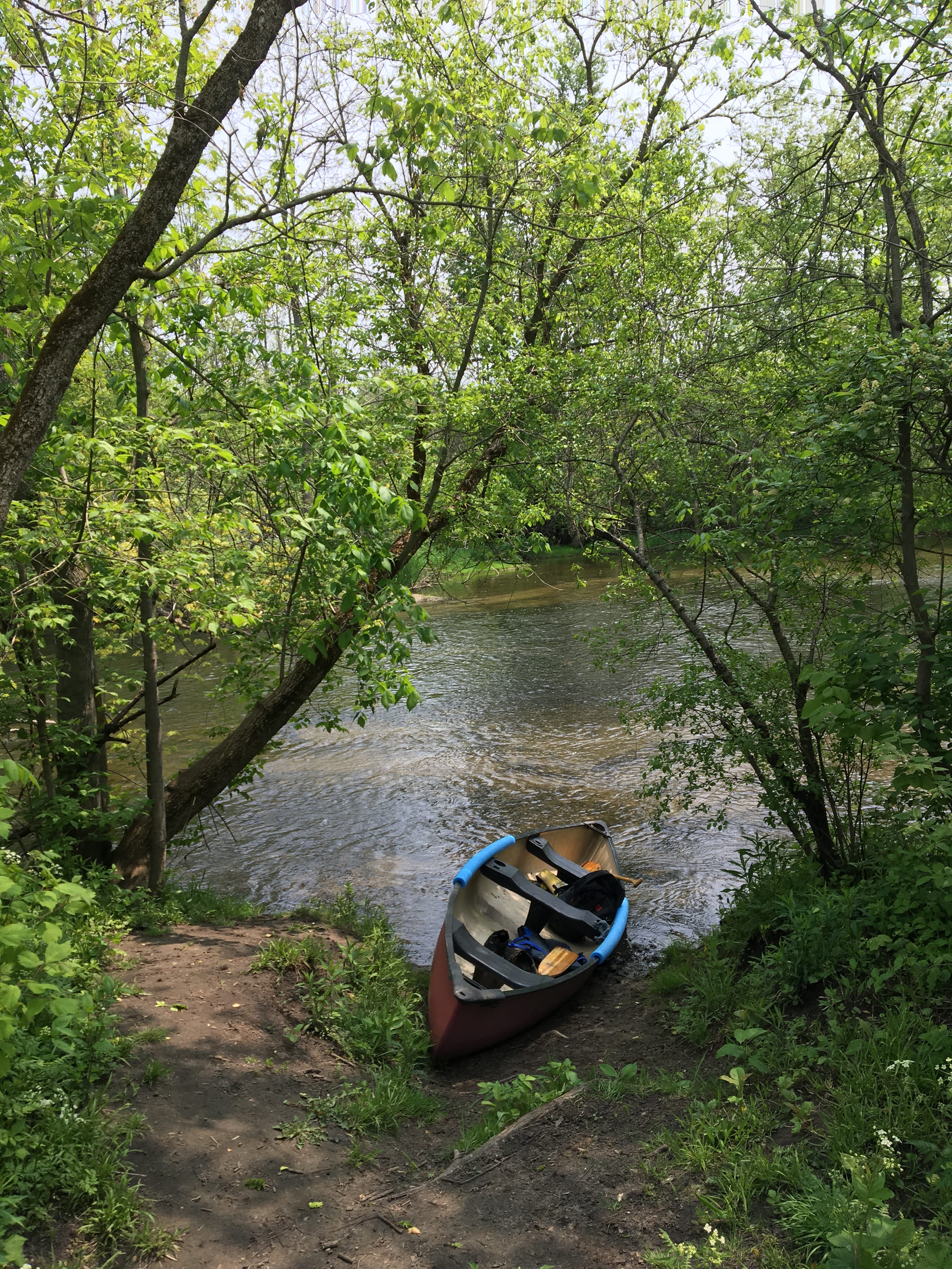
The current moved well throughout the day, and the boat cruised along with only a minimum of paddling from us. The bottom started out silty with big mud flats on the sides, but as we progressed, the river straightened out and the bottom shifted to stone, particularly limestone out by the quarries in Ingersoll. The rock made for some difficult paddling as a couple times an hour we’d come to a swift section and have to be more conscious of our path. We made it through mostly unscathed with only one minor collision where we halfway tipped but were able to catch ourselves and drain the boat fairly easily.
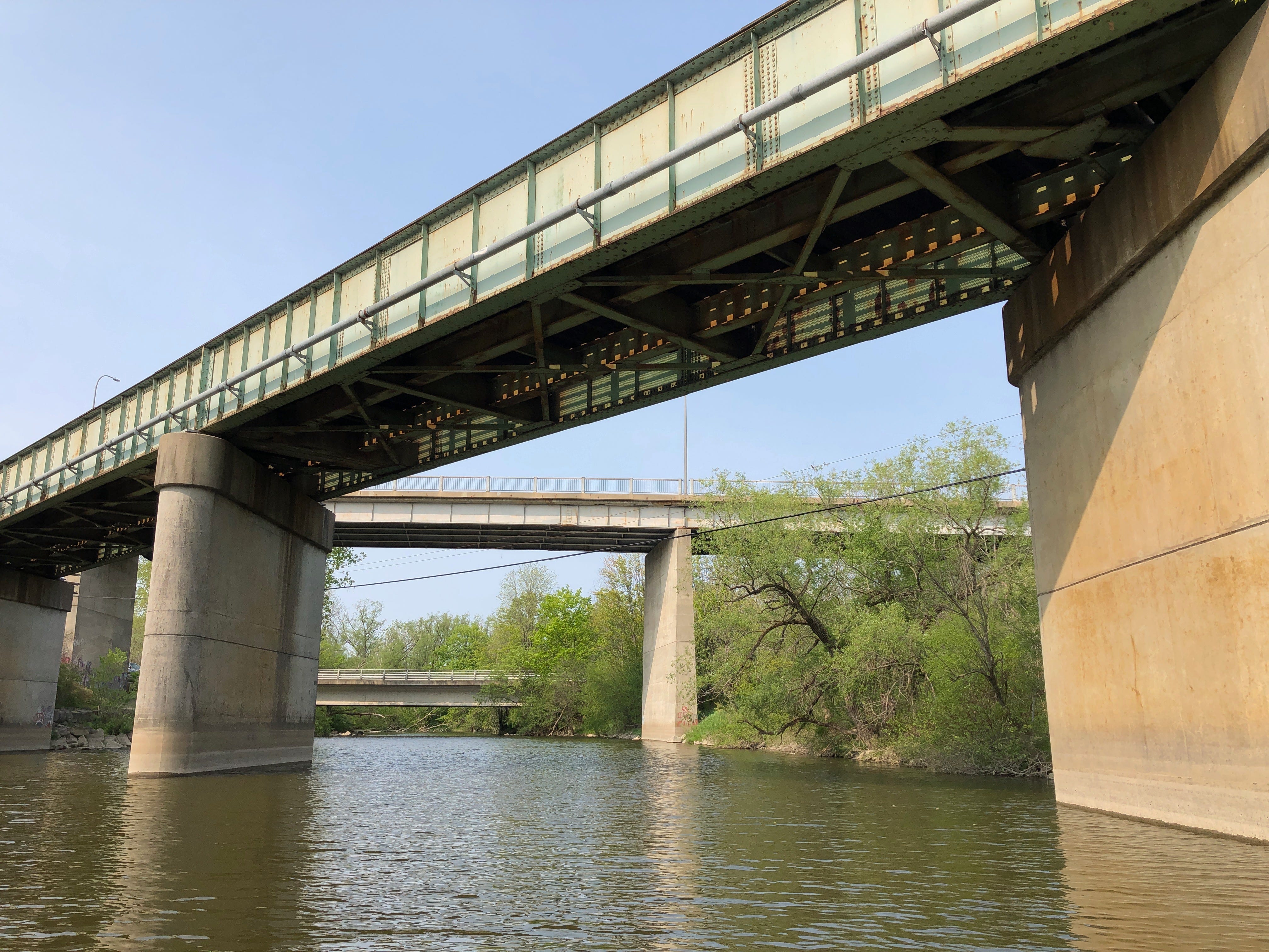
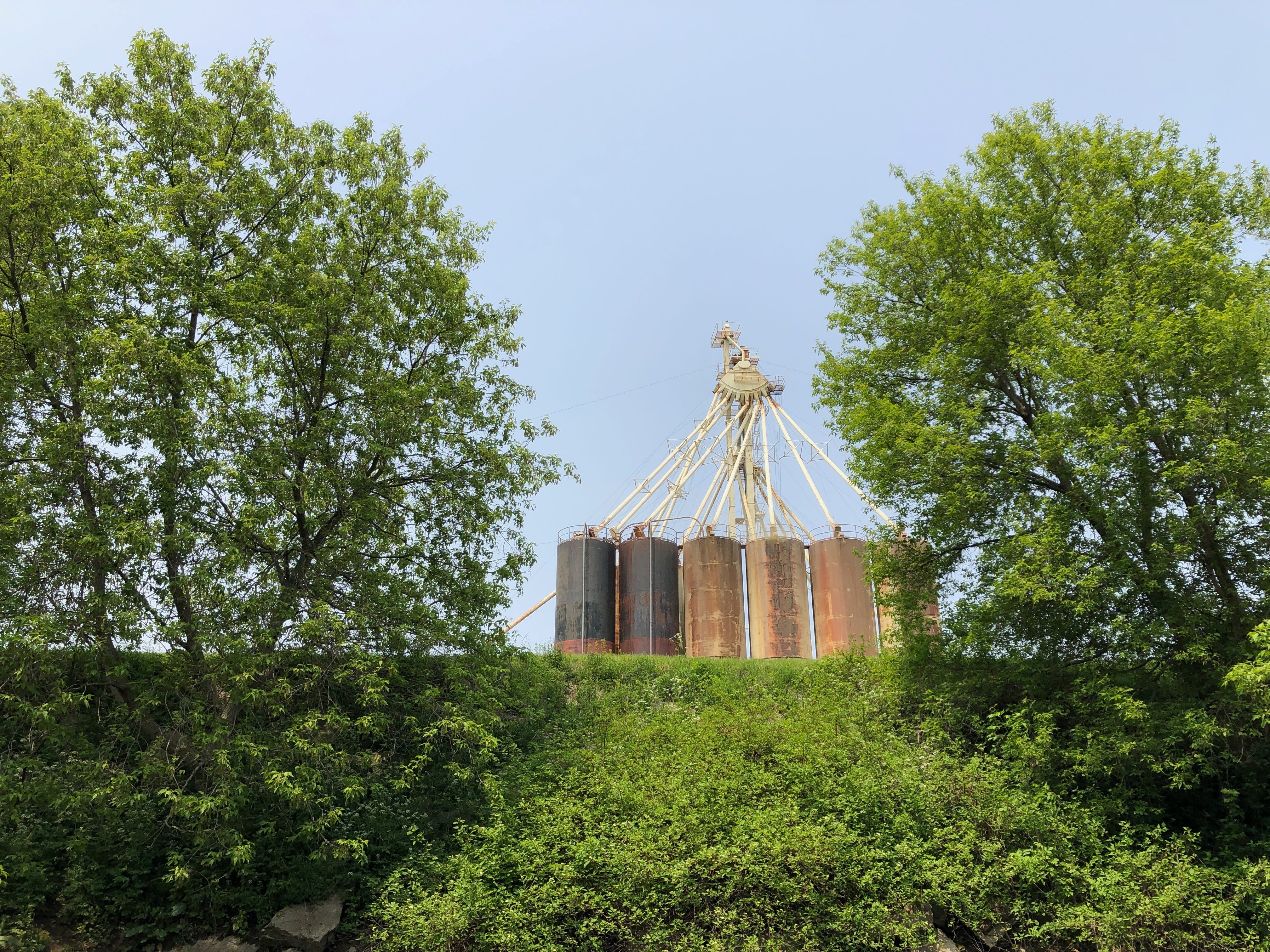
This section of the river was largely secluded throughout. There was the odd bridge, or encampment on the banks, abandoned tires on the bottom and some aging industrial infrastructure, but the river sits in a beautiful valley at this point.
On our 19-minute drive back to the start, the high ground of the road gave us a better vantage point to see how sheltered the river really is — a thin strip of land, tucked beneath and beside the rail lines and regional roads.
I didn’t get a whole lot of material per se from either of these trips — I added “Hidden Lake Golf Course” to the poem after my bike ride — but both were nice ways to alter my speed in engaging with the land, to slow down and see it a different way.
I recently read D.A. Lockhart’s collection Go Down Odawa Way and was struck by the poem “Finding Indigenous Drift Along Hines Park Drive”:
This is what it is
             to be water.
             Encouraged
             in motion
             by the shape
             of land.
Both trips helped me feel that shape and motion a little better — the bike making every metre of elevation change painfully obvious, the canoe putting the interconnection of the watershed back at the fore of my mind as we watched each tributary join up with the river.
I’ve since learned I was starting in the wrong spot. The corner I was looking for is actually about a kilometre away on Lakeshore Road, just north of the Burlington Bay Canal — the site of a now-buried natural outlet from the Hamilton Harbour to Lake Ontario.